Virginia Map Illustration
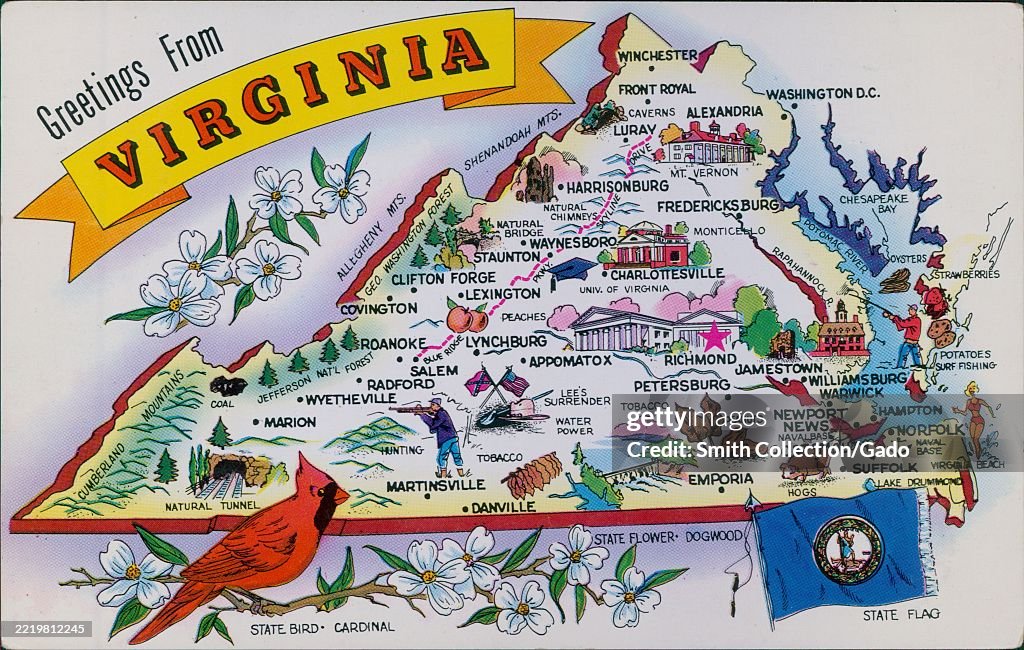
Postcard featuring an illustrated map of Virginia, United States, highlighting cities and landmarks such as Richmond, Norfolk, and the Blue Ridge Mountains, 1965. The state bird, cardinal, and state flower, dogwood, are depicted. (Photo by Smith Collection/Gado/Getty Images)

PURCHASE A LICENSE
How can I use this image?
€300.00
EUR
Getty ImagesVirginia Map Illustration, News Photo Virginia Map Illustration Get premium, high resolution news photos at Getty ImagesProduct #:2219812245
 Virginia Map Illustration Get premium, high resolution news photos at Getty ImagesProduct #:2219812245
€475€115
Getty Images
In stockPlease note: images depicting historical events may contain themes, or have descriptions, that do not reflect current understanding. They are provided in a historical context. .
DETAILS
Restrictions:
Contact your local office for all commercial or promotional uses.
Credit:
Editorial #:
2219812245
Collection:
Archive Photos
Date created:
January 01, 1965
Upload date:
License type:
Release info:
Not released.��More information
Source:
Archive Photos
Object name:
296795final
Max file size:
6000 x 3809 px (20.00 x 12.70 in) - 300 dpi - 10 MB