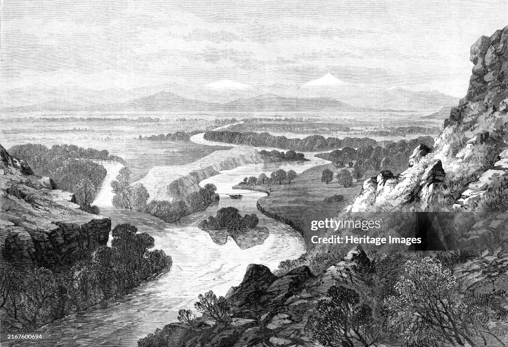
Junction Of The Three Tributaries Of The Missouri
Junction of the three tributaries of the Missouri, 1870. Engraving of a sketch by Mr. P. Tofft. 'The greatest river of North America...has its origin in three streams which rise in the Dacotah territory and flow north, forming a junction in Montana, near the settlement called Gallatin city...The tributaries are named the Gallatin, the Jefferson, and the Madison, after three American statesmen...It is just below the island that the mighty Missouri begins its course, tending northward, cutting its way in a deep gorge through one of the spurs of the Rocky Mountains...The river is navigable to the end of September...Quite a fleet of steamers, laden with goods and passengers, principally for the territory of Montana, leave St. Louis in spring, working their way slowly up against a powerful current, and taking from five to seven weeks in their voyage to Fort Benton...Towards September the water subsides and reveals innumerable sandbars, which shift about from year to year...The length from the junction of the [tributaries] at Gallatin to the junction with the Mississippi at St. Louis is 3000 miles...The rocky plateau above the island in the middle distance is supposed to have been one of the camping grounds of Lewis and Clark, the first explorers'. From "Illustrated London News", 1870. Creator: Unknown. (Photo by The Print Collector/Heritage Images via Getty Images)

PURCHASE A LICENSE
How can I use this image?
€300.00
EUR
Getty ImagesJunction Of The Three Tributaries Of The Missouri, News Photo Junction Of The Three Tributaries Of The Missouri Get premium, high resolution news photos at Getty ImagesProduct #:2167600694
 Junction Of The Three Tributaries Of The Missouri Get premium, high resolution news photos at Getty ImagesProduct #:2167600694
€475€115
Getty Images
In stockPlease note: images depicting historical events may contain themes, or have descriptions, that do not reflect current understanding. They are provided in a historical context. .
DETAILS
Restrictions:
Contact your local office for all commercial or promotional uses.
Credit:
Editorial #:
2167600694
Collection:
Hulton Archive
Date created:
January 01, 1870
Upload date:
License type:
Release info:
Not released.��More information
Source:
Hulton Archive
Object name:
3028652
Max file size:
5449 x 3720 px (18.16 x 12.40 in) - 300 dpi - 14 MB
- 1870-1879,
- 19th Century,
- 19th Century Style,
- Archival,
- Art,
- Black And White,
- Color Image,
- Engraving,
- Horizontal,
- Human Interest,
- Illustrated London News,
- Island,
- Meriwether Lewis,
- Missouri River,
- Montana - Western USA,
- Mountain,
- Mountain Range,
- Newspaper,
- Photography,
- Physical Geography,
- River,
- Rocky Mountains - North America,
- Stream - Body of Water,
- Text,
- UK,
- USA,