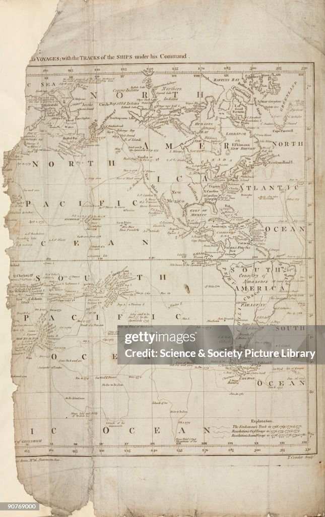
Map of Cook�s voyages, c 1780.
UNITED STATES - JULY 15: Engraved frontispiece by T Conder from 'Complete History of Captain Cook's First, Second and Third Voyages' (1784). Captain James Cook (1728-1779), the famed navigator and hydrographer, transformed the West�s knowledge of the Pacific region. The principal aim of his third voyage was to find a northern sea passage between the Pacific and Atlantic oceans. Having set sail from Hawaii in 1779, Cook returned to the islands after his ship 'Resolution' suffered storm damage, after which a fight broke out and he was stabbed to death. John Franklin (1786-1847) was credited with the discovery of the Northwest Passage in the 1840s. (Photo by SSPL/Getty Images)

PURCHASE A LICENSE
How can I use this image?
€300.00
EUR
Getty ImagesMap of Cook�s voyages, c 1780., News Photo Map of Cook�s voyages, c 1780. Get premium, high resolution news photos at Getty ImagesProduct #:90769000
 Map of Cook�s voyages, c 1780. Get premium, high resolution news photos at Getty ImagesProduct #:90769000
€475€115
Getty Images
In stockPlease note: images depicting historical events may contain themes, or have descriptions, that do not reflect current understanding. They are provided in a historical context. .
DETAILS
Restrictions:
Contact your local office for all commercial or promotional uses.
Credit:
Editorial #:
90769000
Collection:
SSPL
Date created:
January 01, 1780
Upload date:
License type:
Release info:
Not released.��More information
Source:
SSPL
Object name:
10425172
Max file size:
2208 x 3504 px (7.36 x 11.68 in) - 300 dpi - 3 MB